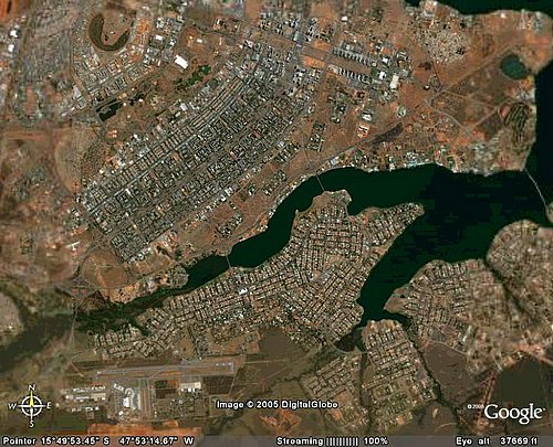
This image shows that the airport of Brasília is located about 11 km southern of the center of the Pilot Plan.
Most hotels in the Plan Pilot of Brasília are located in the hotel sectors.
There are buses running from the airport to the hotel sector and to the central bus station (about 300 meters from the hotels).
The underground system goes from center to the south, but it doesn´t reach the airport.
A taxi ride from the airport to the hotels takes about 20 minutes, when the expressways are free. Notice, however, that traffic jams are common at peak hours (from 5 pm to 7 pm).


 This image shows that the airport of Brasília is located about 11 km southern of the center of the Pilot Plan.